Teaching, Computation
Imaging Landscapes
Digital FUTURES workshop: Computer Vision and Landscape Perception
YEAR: 2020
TYPE: Teaching
Design Workshop @ Digital FUTURES @Tongji University
Co-instructed with Prof. Brad Cantrell & Waishan Qiu
TYPE: Teaching
Design Workshop @ Digital FUTURES @Tongji University
Co-instructed with Prof. Brad Cantrell & Waishan Qiu
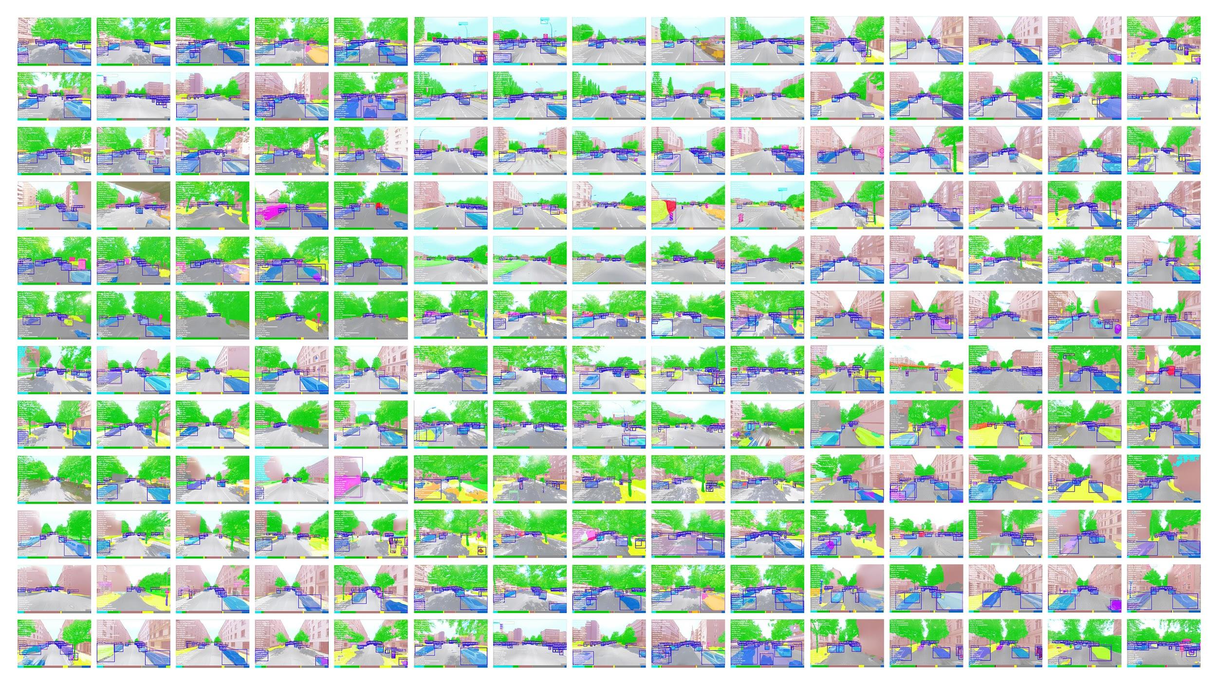
The research on the visual impact of the human perceived landscape is limited by the lack of quantitative methods on landscape perceptions or difficulty in dealing with large amounts of image data. This one-week workshop applied computer vision and machine learning to develop an effective approach to quantify the subjective perception of landscapes and to apply to regional-scale studies. Taking Berlin as a case study, it examined the spatial formation, landscape elements composition, and landscape perception through data mining and data visualization of urban image data.
The goal was to challenge the conventional perceptual study in the landscape design process. We hope this workshop could inspire more possibilities for novel quantitative analysis and an evidence-based design approach. This one-week workshop included a four-day session with theoretical lectures and technical workshops, handing the students basic knowledge of google street view API, SVI downloading, data preprocessing, Computer Vision( pspNet, Mask RCNN), and basic Machine Learning. Then a three-day working session allowed students to develop their own projects in sub-groups. The students included undergrads, graduate students, Ph.D. students, and lecturers from different backgrounds in landscape architecture, architecture, and urban planning from China and the U.S.
More Info:
https://www.bilibili.com/video/BV1H5411Y74g